
HOUSTON — If you're thinking about moving closer to the beach, you might want to do some research first.
That's because a new interactive map shows what parts of the Texas coast could be underwater in the coming decades.
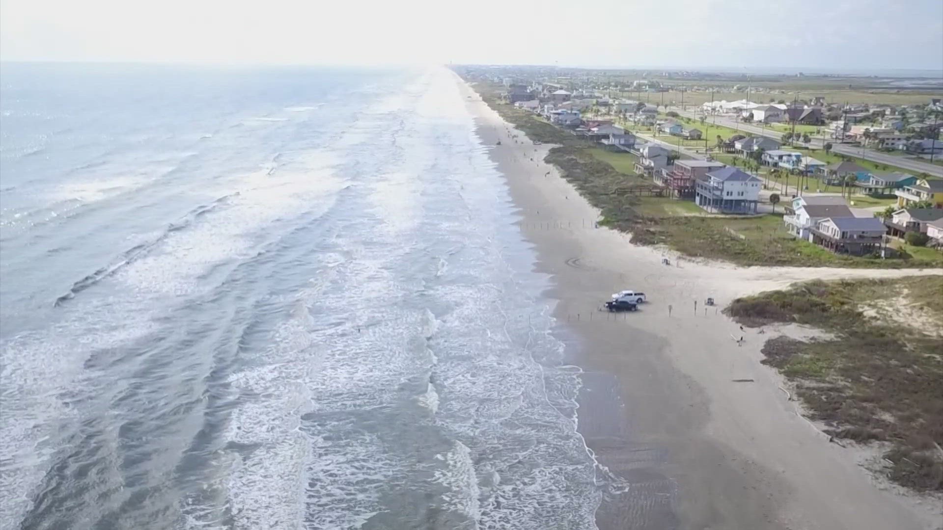
The mapping tool was designed by Climate Central, a nonprofit group that researches and reports on climate change, rising sea levels and coastal flooding. It seems to indicate that a large portion of land along the Texas barrier islands will fall below sea level by 2050. That includes sections of Galveston Island, Port Bolivar, and Beaumont.
The map uses measurements and estimations from the National Oceanic and Atmospheric Administration (NOAA), but experts say it isn't the final word. Instead, the map should be used as a screening tool to identify areas that need further investigation.
September will mark 15 years since Hurricane Ike leveled Bolivar Peninsula and efforts to rebuild to coastline are ongoing.
In July, construction on the "Ike Dike" was approved, which aims to protect about 70 miles of the Texas coast from storm surge with a movable barrier that could be used like a flood gate.