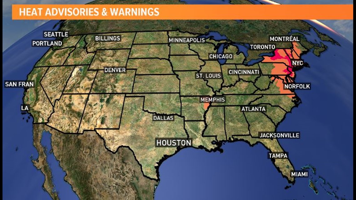
High pressure is to thank for the really hot weekend... and the heat will roll in to your Monday. Temperatures above average- but not record breaking. The northeast region will be HOT this week! Around high pressure you get clockwise flow and that is why we will be tracking storms beginning on the 4th of July.

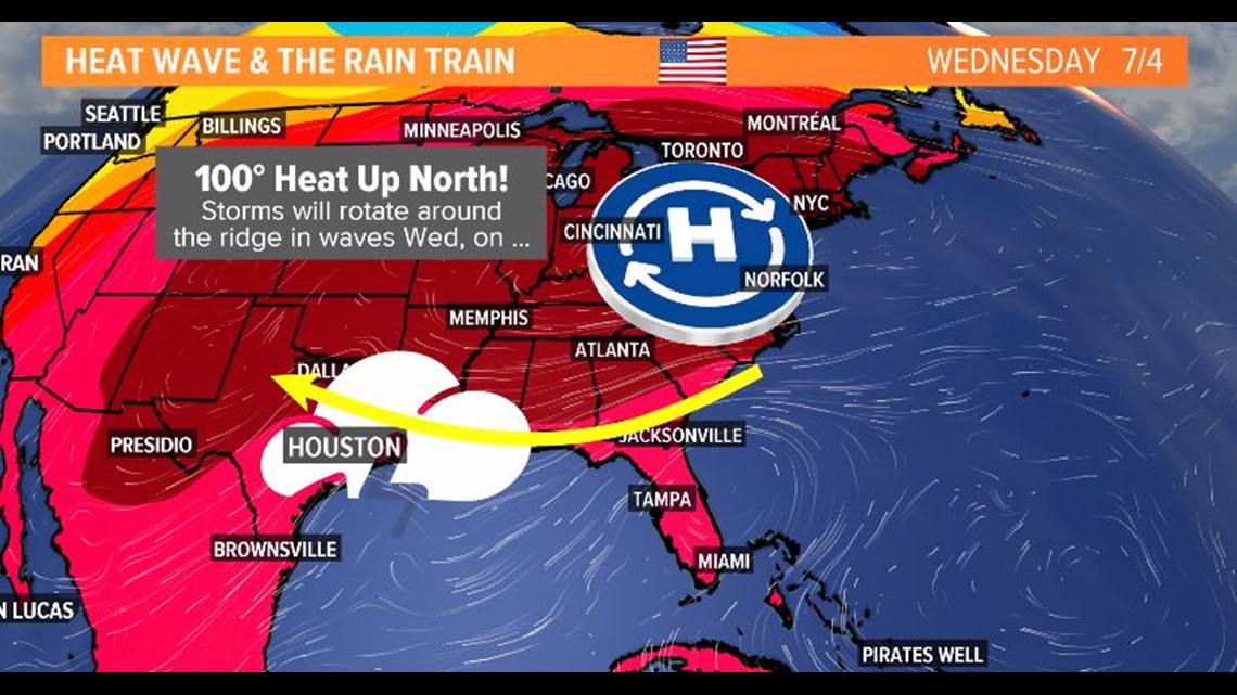
Usually weather moves west to east. This is a different set up compared to what we typically see. Notice the storms moving around the ridge of high pressure.

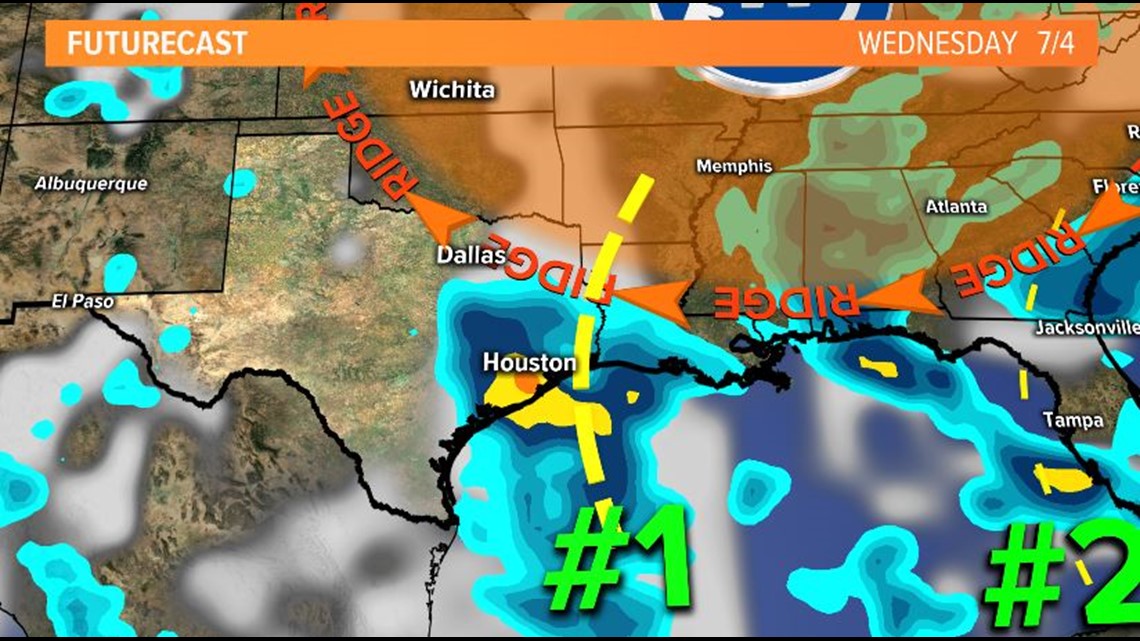
Because of that, we will see a rain chance for the mid and later part of the week where the east coast will continue to sizzle!

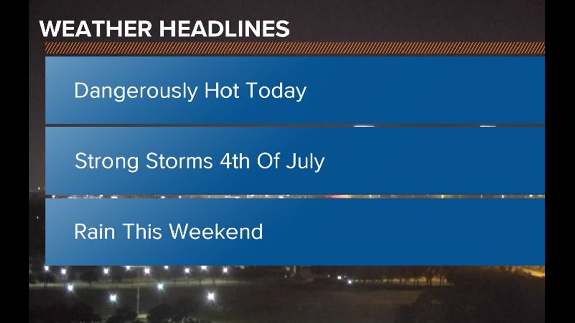
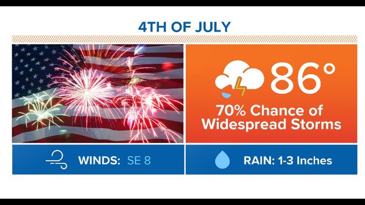
So we start the week off hot. Mid to upper 90's today. Strong storms move in for the 4th.. and rain chances continue for the weekend.