
Thursday's storm was quickly deemed "Snowvember" by folks in the Northeast and Mid-Atlantic region, and rightly so. That system produced record-early snowfall for several major cities and brought travel to a standstill for hours.
But while that storm has wrapped up, the anniversary of the Snowvember that Western New Yorkers know is upon us. Saturday, November 17 marks four years since the beginning of a week-long onslaught of lake effect snow for the metro area and Southtowns.
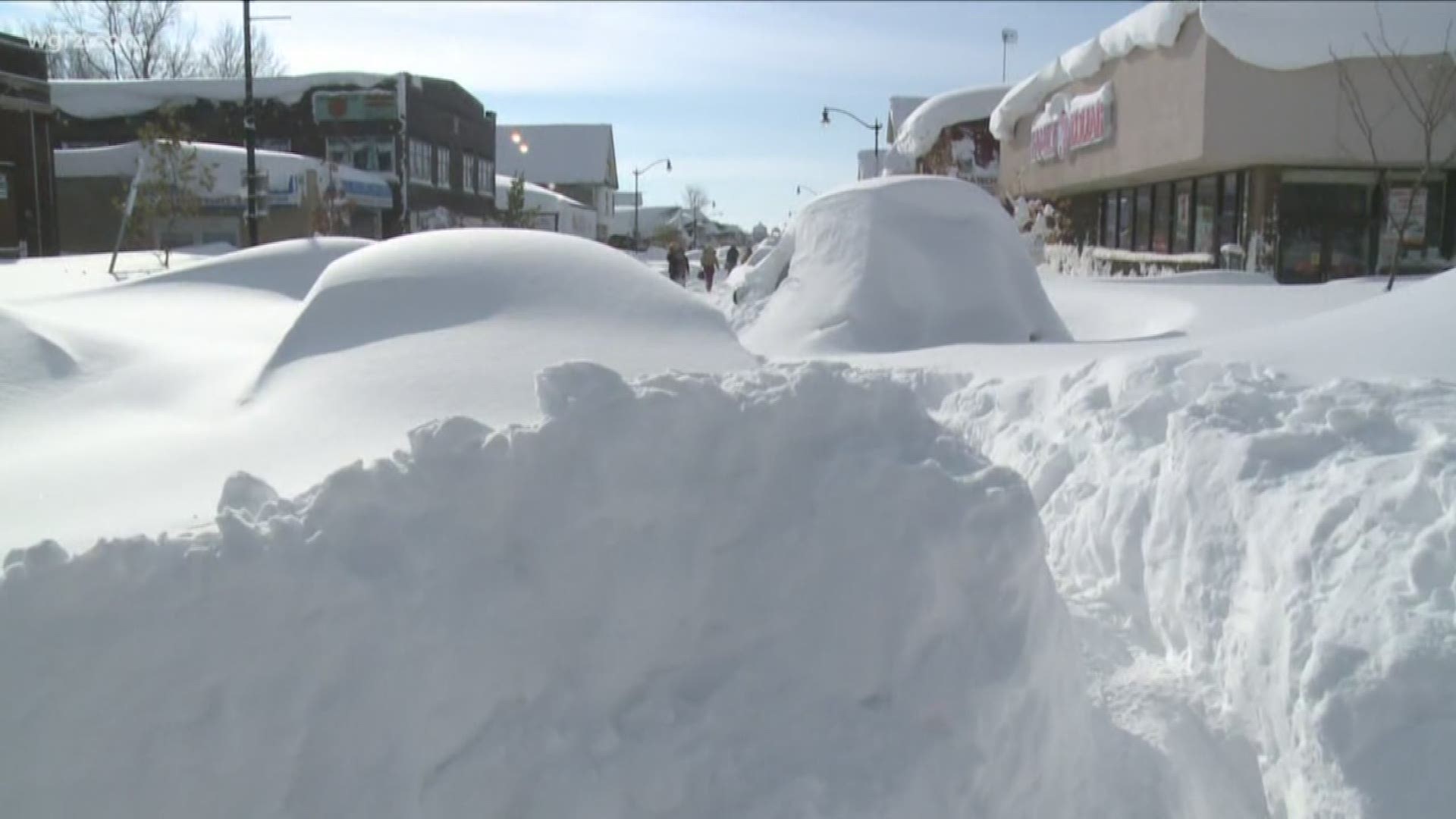
Over the course of those 7 days, two powerful lake effect snow bands would drop over 60" of powder in places like Cheektowaga and Lancaster. The "winner" was East Aurora with a whopping 88". What was most incredible was the sharp cutoff of the heaviest snow. Many in the Northtowns had a couple of inches or less. The Buffalo Airport officially measured just over 17 inches.
In addition to all of the snow, the intense bands of snow produced thunder, lightning and 40 to 50 miles per hour wind gusts.
14 people died as a result of the storm and parts of the Thruway were impassable for hours, stranding hundreds of drivers. Thousands more were without power.
The ingredients for Snowvember started coming together over a week before a single flake fell. Believe it or not, it all began with a powerful typhoon in the West Pacific. Watch the video at the top of this page as Meteorologist Heather Waldman explains how a storm thousands of miles away had such a profound effect here.