x
Breaking News
More () »

Will this future Pacific hurricane cross into the Gulf?

<p>Tropical Depression #1E quickly became Tropical Storm Adrian on May 9th and is forecast to strengthen into a Hurricane. The eastern Pac. hurricane season officially begins next week, on May 15th. The Atlantic basin hurricane season starts June 1st.</p>

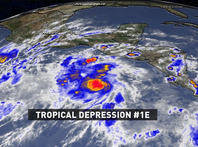
While the eastern Pacific hurricane season doesn't officially start until next week -- May 15th -- for all intents and purposes, it started early! Today, the first tropical storm ("Adrian") formed there and it's heading north. Now many are asking me if this future Pacific hurricane will cross the thin landmass isthmus of Central America and enter the Gulf of Mexico, threatening us. Well, will it? The best way to answer that is to look at medium range forecast models, then compare with documented history and finally consider the time of year.

As of May 9, 2017, the track for TD #1E, takes it northward toward Mexico as a hurricane.
To answer the first question, all indications by computer models suggest if it makes landfall in either El Salvador, Guatemala or Mexico, it may curve back into the Pacific. No models steer the system into the Gulf.
 
More importantly, history demonstrates that a transit from the Pacific to Atlantic is extremely rare. Since 1842, only 6 systems have been documented to have done this. Interesting, 2010's Tropical Storm Hermine was the latest, impacting south Texas. Prior to that, you'd have to go back to 1965, then 1949, 1923, 1902 and finally, 1842. At that rate, it happens about once every 34 years, so we wouldn't see it again until 2051. (Of course, weather doesn't always follow statistics, but this does show how mathematically unlikely it is.)  
It&#39;s very rare for tropical system to cross from the Pacific ocean basin into the Gulf of Mexico, happening to less than 1% of systems.

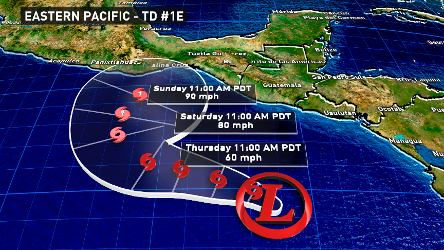
One final element to consider is time-of-year: Out of those 6 systems, 5 of them made this transition into the Gulf very late in the hurricane season -- September and October. That's when steering currents changed and cold fronts are more likely to drag them north. (Only one system made the crossing in June, back in 1965, due to an extremely rare setup.) Considering it's still early-May, another eye brow is raised at the unlikely chance it'll cross into the Gulf.

On the flip side, it's also rare for an Atlantic-born tropical system to cross into the Pacific. There have only been 12 since 1876, which means we're talking less than 1%. The most recent was actually last year: Hurricane Otto.

So, the answer to the question, "Will future eastern-pacific Hurricane Adrian move into the Gulf?" Almost certainly, "no."

-Brooks
facebook/twitter 
Meteorologist Brooks Garner

Before You Leave, Check This Out