
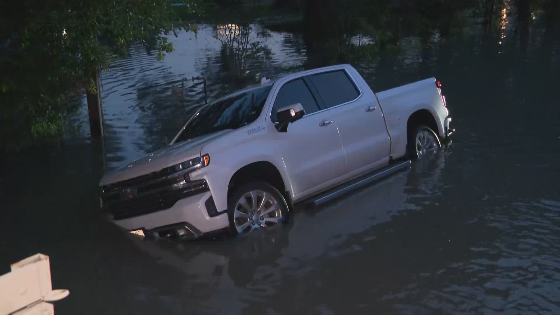
HOUSTON — We’re tracking high water all across the Houston area following days of heavy rain. And with more rain in the forecast, things are expected to get worse.
The Harris County Flood Control District is keeping tabs on rivers and streams that are out of their banks and those that are nearing it. Here is what they posted shortly after 11:30 a.m. Saturday.
Water out of its banks
- San Jacinto River at Rio Villa
- San Jacinto River at U.S. 90
- Lake Houston at FM 1960
- San Jacinto River at Lake Houston Parkway
- San Jacinto River at US 59
- San Jacinto River at US 99
- San Jacinto River at 242
- Caney Creek at FM 2090
- Peach Creek at FM 2090
- East Fork San Jacinto River at FM 1485
- East Fork San Jacinto River at FM 2090
- East Fork San Jacinto River at SH 105
- Cedar Bayou at SH 99
Water nearing top of the bank
- Spring Creek at FM 2978
- Spring Creek at I-45
- Bear Branch at Kuykendahl
- Walnut Creek at Joseph Road
- Threemile Creek at Joseph Road
- Cypress Creek at Cypresswood Drive
- Cypress Creek at Katy-Hockley Road
- Cypress Creek at Sharp Road
- Willow Creek at SH 249
- Cedar Bayou at US 90
- Cedar Bayou at FM 1960
- Gum Gully at Diamond Head Boulevard
- Luce Bayou at SH 321
- Houston Ship Channel at Juan Seguin Parks
You can also check the Harris County Flood Control map anytime. There are explainers on how to read it and what the different monitors mean. We have links here.
If you are in an area that's flooded, you can get a free ride to safety. Just call 311.