HOUSTON — What have you been doing this past 5 months? Running your air conditioning? Yep, me too. In fact, everyone in Houston who has a working unit(s) has been paying dearly to keep that baby humming away all summer. Last time we saw 60s for highs was back on April 20th, 2018. 25 weeks ago we'd have no idea just how long this summer would last (but, at least we avoided any hurricanes.) Finally, this pattern is ending.
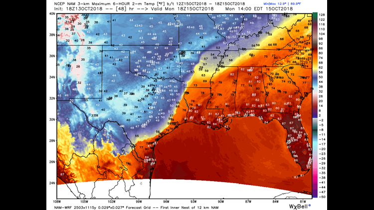
The highly anticipated cold front is set to arrive Monday and will knock temperatures down about 15°-20°F and it will likely happen fast -- like, in one or two gusts of wind, 'fast'. One model takes us from the upper 70s at lunchtime Monday to the 50s by dinner. It'll be tough to recover back into the 70s until next weekend under overcast skies with occasional showers. (Could this be the end of the 90s? Certainly the regular summer temperatures will be history after tomorrow.)
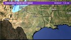

If you want to go beyond autumn weather and drive somewhere to find winter, you don't even have to leave the state. Tomorrow night we could see some flakes fly in the TX panhandle, where the elevation reaches 3,000 feet above sea level. Temperatures could dip into the upper-20s there at night!
...With these wild temperature swings, be sure to watch your health. -Brooks Garner, Meteorologist KHOU 11