HOUSTON — It's back. The Climate Prediction Center has determined the warming of ocean waters in the equatorial and east Pacific are strong enough to post an "El Nino Advisory" and officially declare El Nino conditions are present.
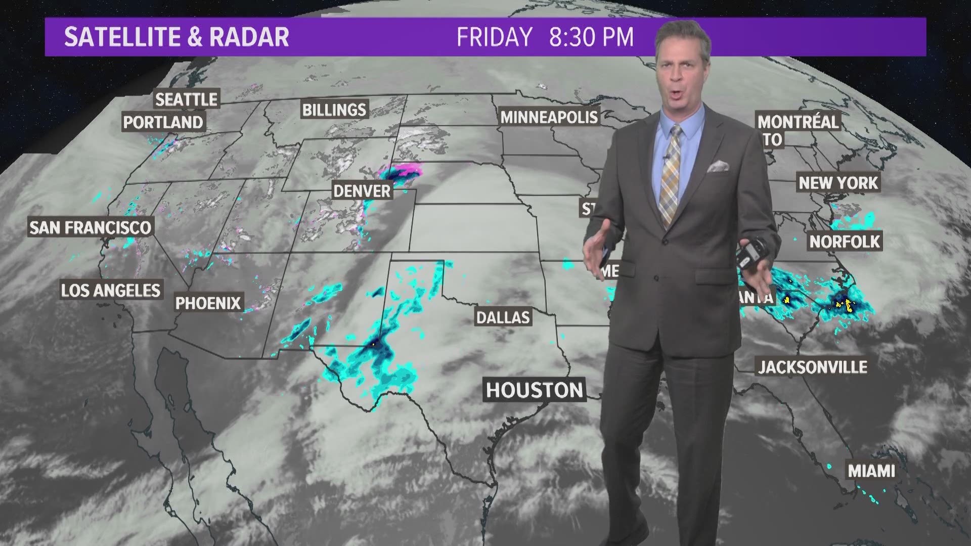
For the United States, it means rain is more likely on the California coast and increased snowfall in the Sierra and Rocky Mountains. A quick glance shows snow pack running much above normal in those areas.
For Houston, it usually means a cool wet winter and can mean a wet and stormy spring. We've certainly had the cloudy, gloomy and wet winter. It looks and feels like an El Nino is present here in Houston.
The warmer Pacific waters make water vapor more available and tends to energize the southern branch of the jet stream. That in turn creates a more active than normal southern storm track. That's us, and it could lead to above normal rainfall this spring. The Climate Prediction Center forecast El Nino conditions to remain present through May.

