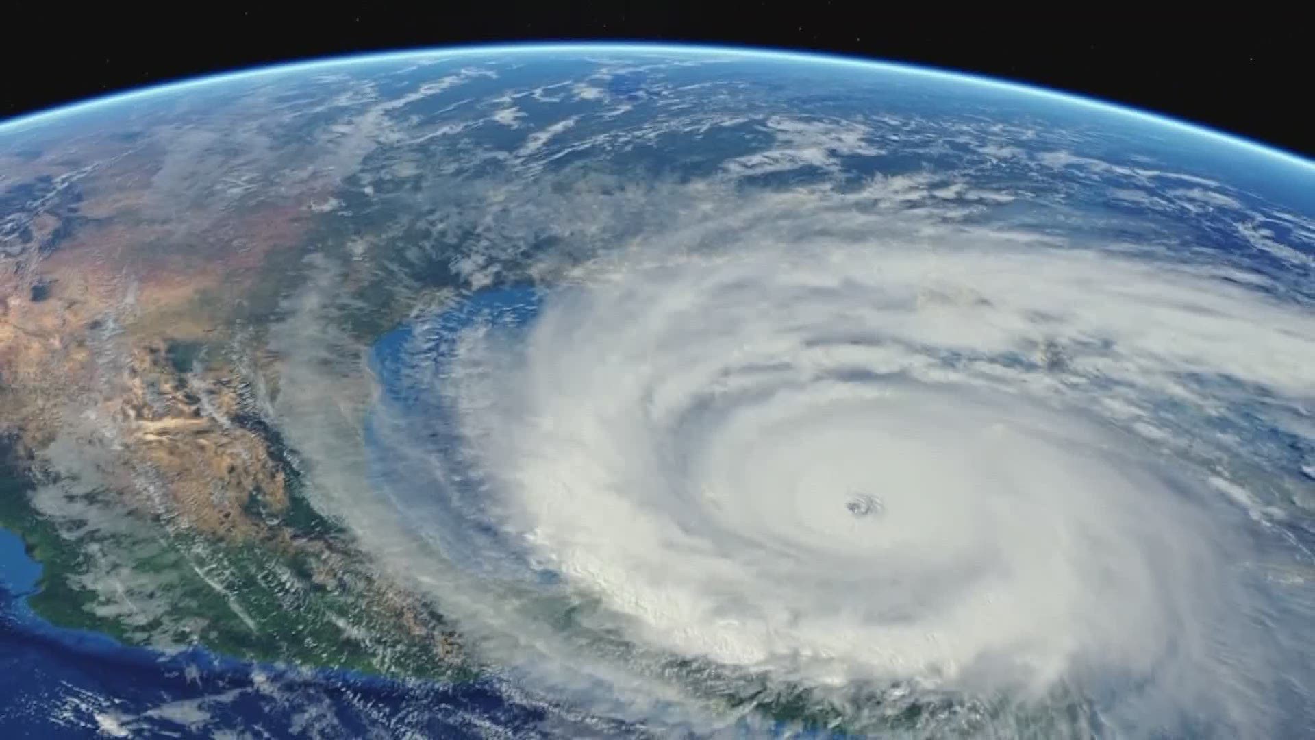
HOUSTON -- "Run from the water, hide from the wind." It's an old saying that applies to the age-old question: Who should evacuate when a hurricane is coming our way?
If a hurricane is approaching the Gulf Coast, some areas that could be impacted by the storm surge will likely be urged to evacuate. Residents further inland are normally advised to stay put to avoid extra congestion on the evacuation routes.
The state of Texas has published maps of evacuation contraflow plans and urges residents to be prepared if an evacuation is implemented.
The Texas Department of Transportation designed a contraflow plan to portions of I-10, I-45, U.S. 59 and Highway 290.
Contraflow allows state and local officials to shut down designated inbound lanes and turn them into additional outbound traffic lanes. People evacuating will be directed to designated routes depending on which part of town they live in.
Harris County Evacuation Zones
Contraflow Maps
Evacuation Resources


