
HOUSTON — HOUSTON - Most Houston-area drivers know how quickly heavy rain can turn roads from passable to life-threatening.
On Friday, Transtar officials said they’ve added even more flood gauges to provide real-time data to their recently upgraded app and website showing Harris County drivers which side streets and freeways are most likely flooded.
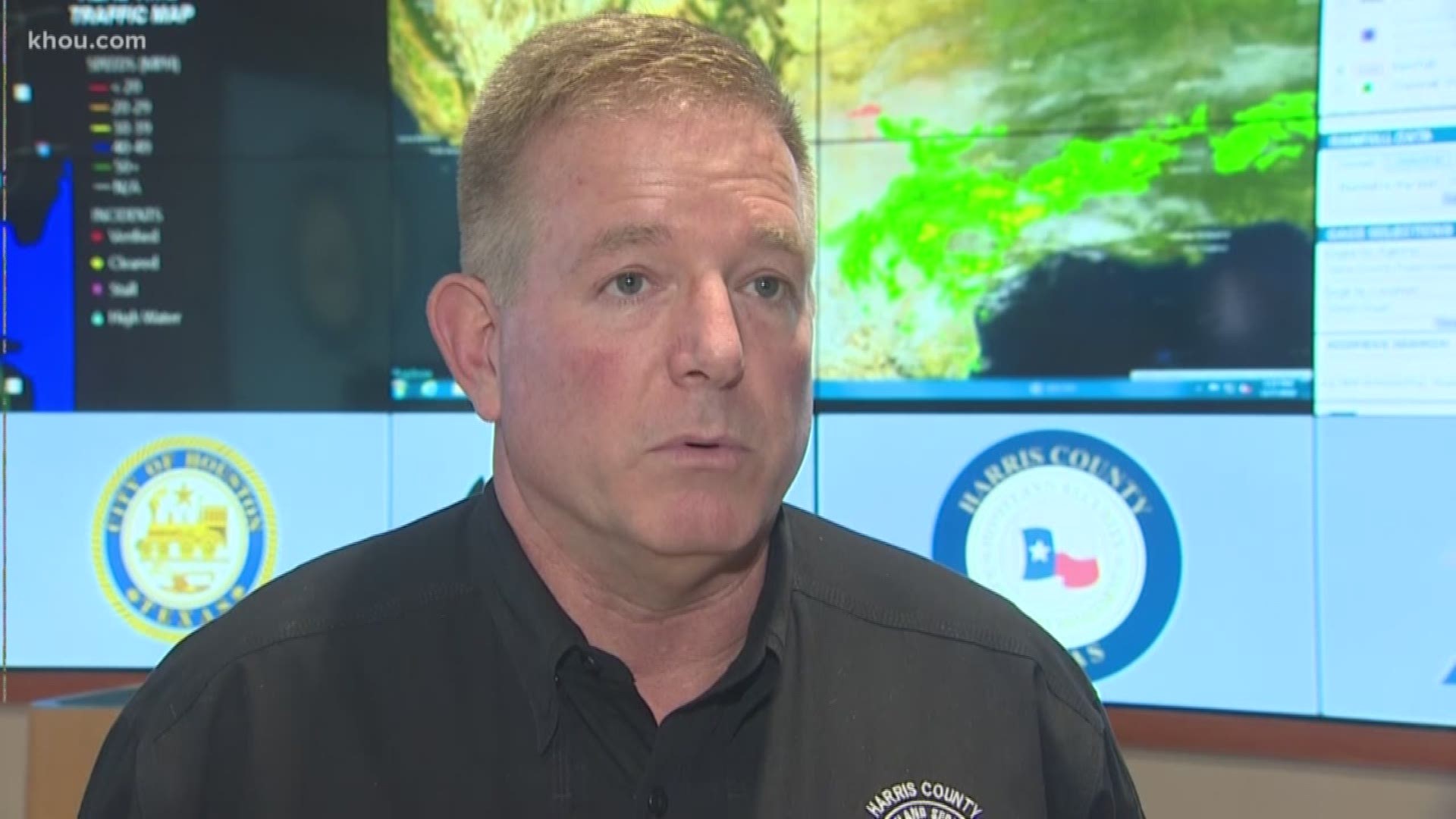
“With the early freeze, we got a lot more debris on our roadways, so we may see more roadway issues that we traditionally see,” said Mark Sloan, Harris County’s Emergency Manager.
Sloan says the shorter December days don’t help.
“It’s hard to recognize because of the reflection of your headlights off the roadways, how deep the water is,” he said.
While the county and other agencies watch out for flooded streets at the Emergency Operations Center, which was activated Friday afternoon, drivers can do the same on their phone with a Transtar app upgraded this summer.
“We’re in Houston,” said Dinah Massie, Director of Houston Transtar, when asked if the app has been successful in the flooding since its July launch. “Yeah, it’s been tested. We’re very comfortable with the data that we’re able to produce.”
The app pulls data from 190 rain gauges, including 20 new gauges added since July, to show drivers in real time which highways and side streets are likely to be flooded.
During Harvey, Massie says existing cameras and sensors made it easy to quickly tell which highways were flooded, but gathering good information for side streets was harder and took much longer.
After the storm, she says Transtar and other agencies brainstormed how to solve that problem problem and created a solution.
“Why don’t we show where it’s raining heavily, an inch in 15 minutes, and where we’re seeing top of bank conditions, in the nearest bayou, and overlay that over our street map and have people know that it is highly likely to be flooding in this area,” said Massie.
The app draws a blue circle with a 3-mile radius around the gauge in the problem area, updating every 15 minutes.
“If it continues to rain in a spot, it will continue to show that areas as being under warning until 90 minutes after the last rainfall,” Massie said.
Massie said push alerts for this app to warn drivers near flooded roads should go live in early 2019.
Harris County is also working on developing a region-wide warning system to warn people in Harris and neighboring counties when flooding is imminent.